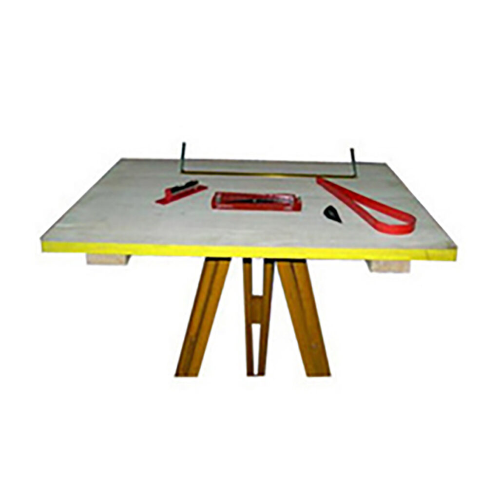
Plane Table
Plane table surveying is a graphical method of surveying that involves simultaneously observing and plotting field conditions on paper. It’s a simple, cost-effective technique that’s often used for small-scale surveys, topographical mapping, and other situations where quick, approximate results are sufficient.
Here are some things to know about plane table surveying:
- The plane table: A flat, leveled board mounted on a tripod that provides a solid surface for drawing. The table top can rotate freely around a vertical axis, and can be clamped in place when needed.
- The principle: The principle of plane table surveying is parallelism, which means that all rays drawn through various details should pass through the survey station.
- Advantages: Plane table surveying is simple, cost-effective, and useful in terrains where precision instruments might be challenging to use. It also eliminates the need for intermediate calculations, and allows surveyors to visualize and map the area in real time.
- Equipment: Other equipment used in plane table surveying includes.
- Alidade: A straight edge or ruler made of metal or box wood, about 50 cm long.
- Trough compass: A compass with a suspended magnetic needle in its center, used for marking the north line on the drawing sheet.