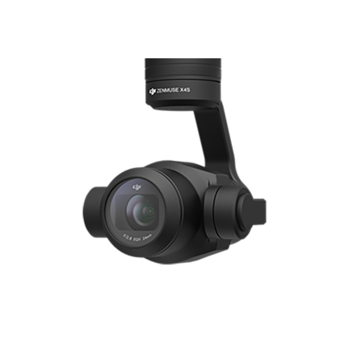
Aerial Camera
Aerial cameras are specialized instruments used in surveying and mapping to capture

Auto Level
An auto level is a surveying instrument that measures differences in height between
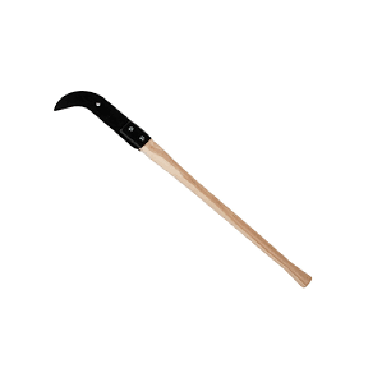
brush axes
A surveyor’s brush axe is a tool used to clear brush and vegetation to create a line
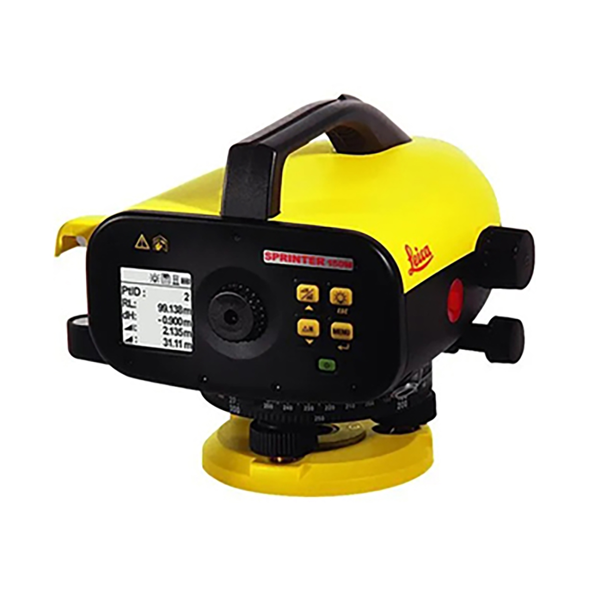
Digital Level
A digital level is a tool used in land surveying to perform automatic height

Digital Theodol...
A digital theodolite is a precision instrument that measures horizontal and
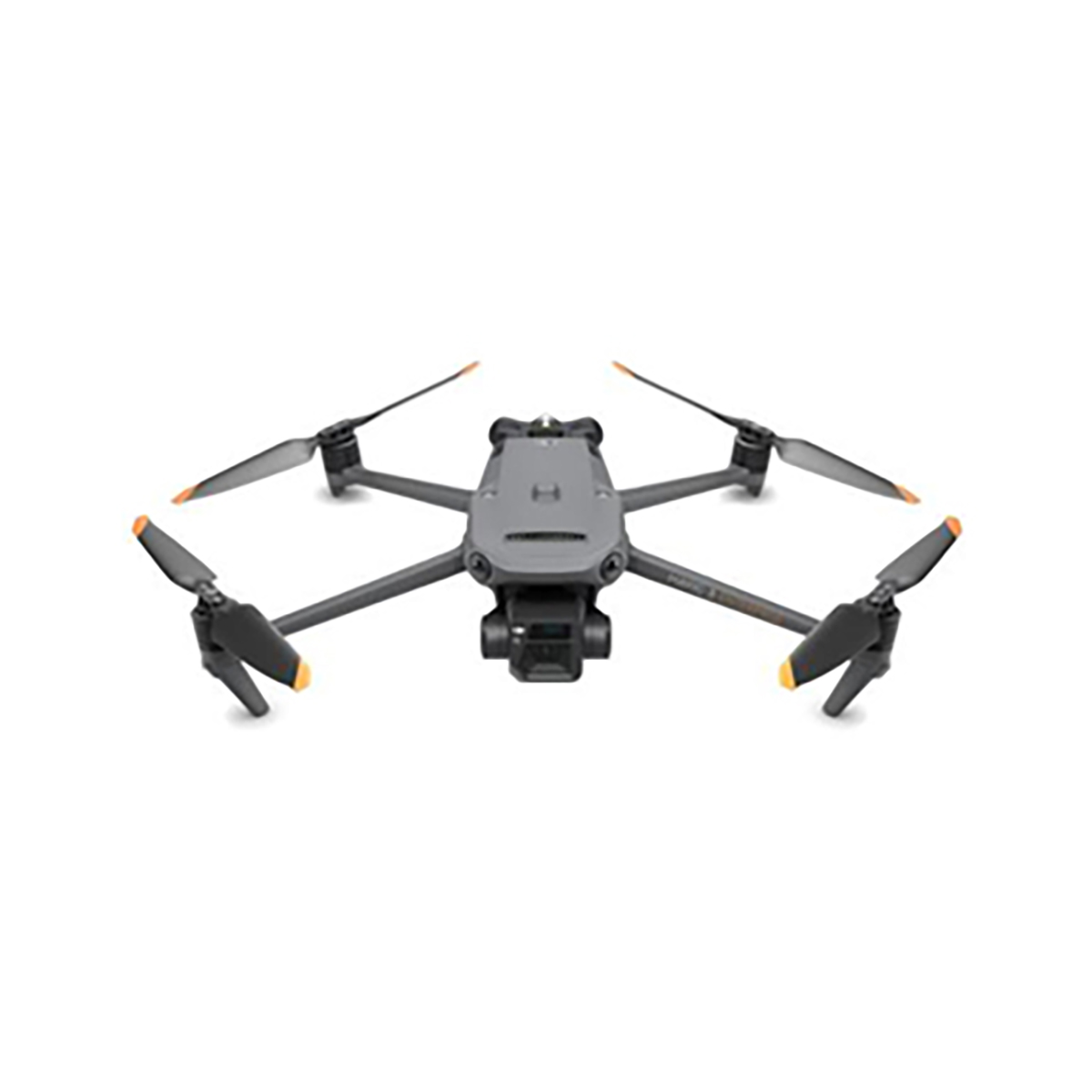
Drones
Surveying drones, also known as unmanned aerial vehicles (UAVs), are used to collect

Dumpy Level
A dumpy level is a surveying instrument used to measure and establish horizontal
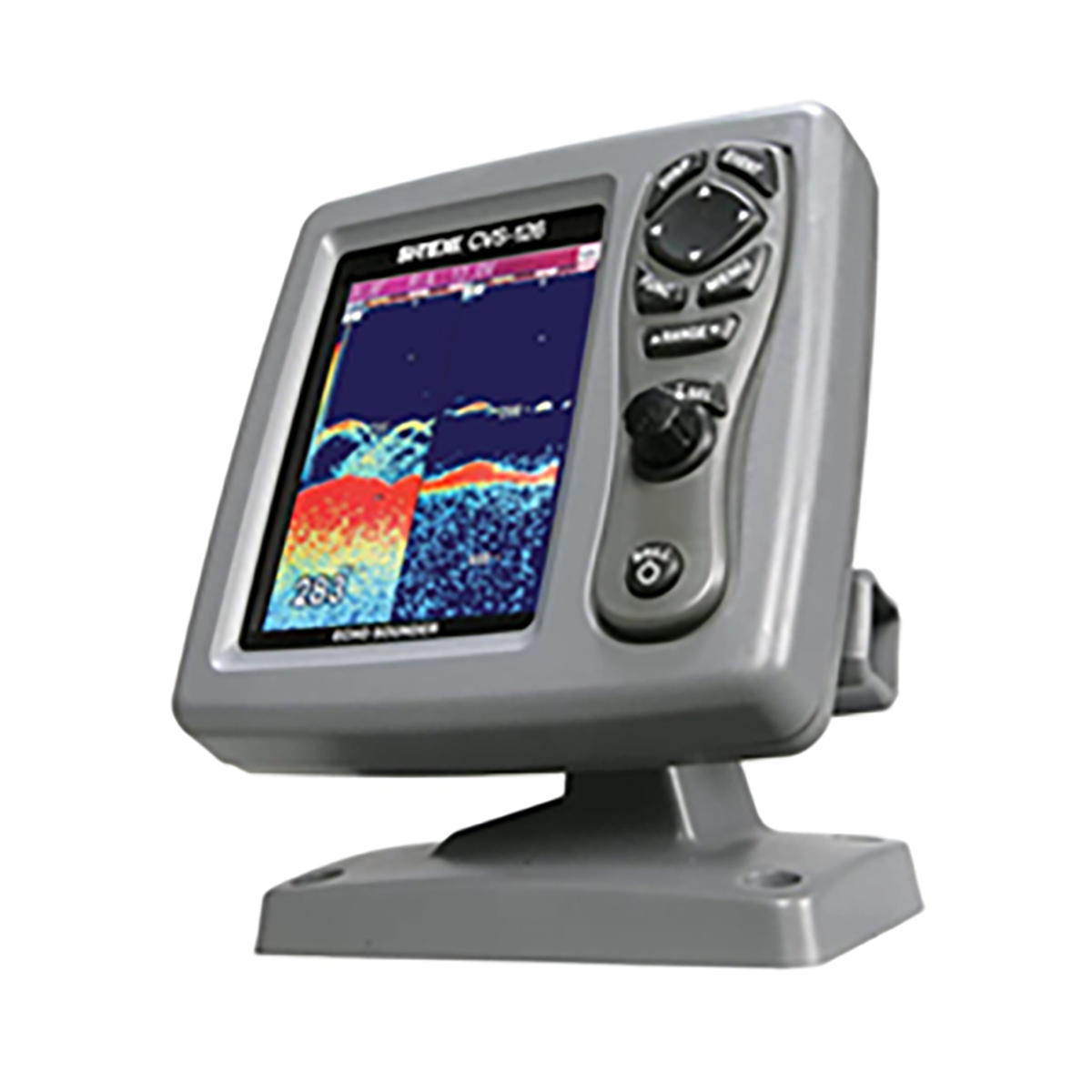
Eco Sounder...
Echo sounders are devices that use sound waves to measure water depth and locate
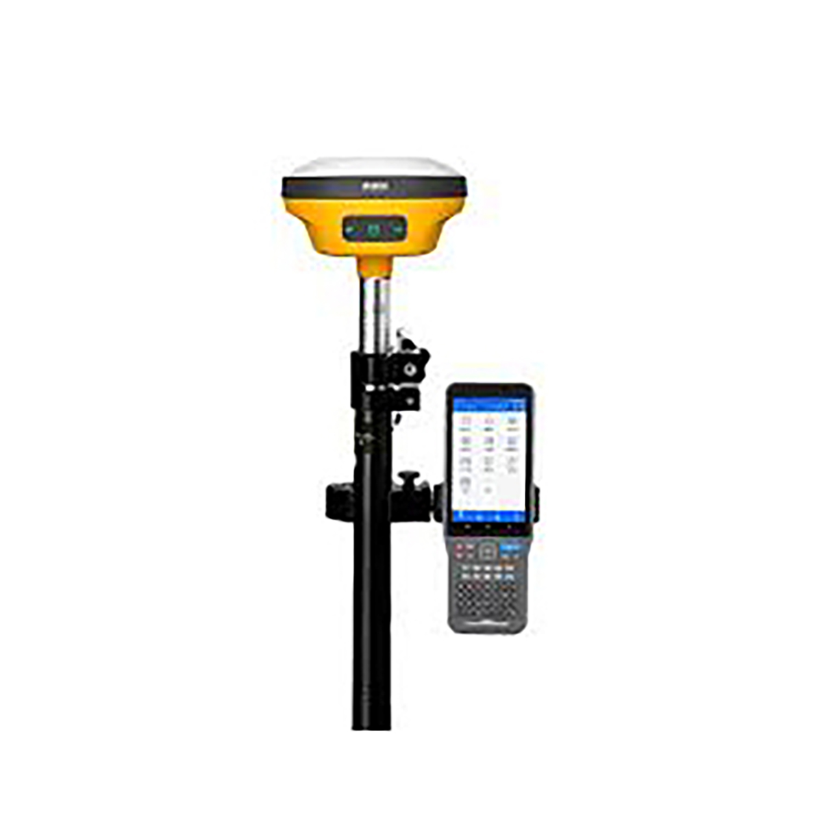
GNSS surveying
GNSS (Global Navigation Satellite System) surveying is a technique that uses satellite
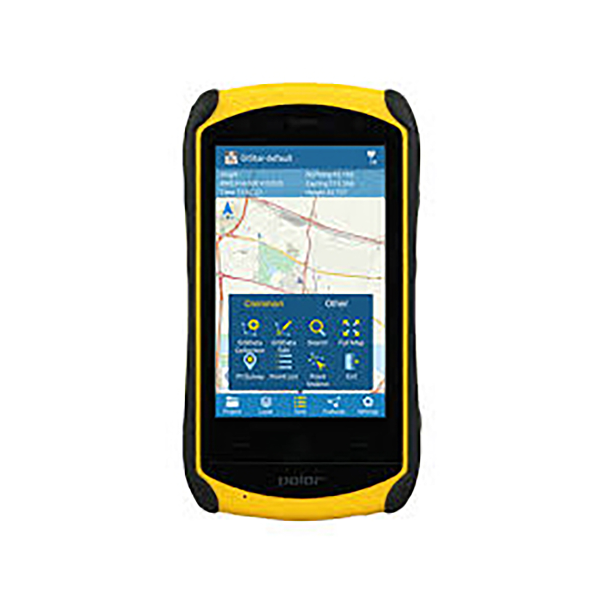
Hand Gps
A handheld Global Positioning System (GPS) receiver can be used for surveying to
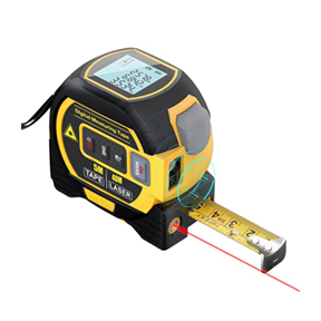
Laser Rangef...
A Laser Distance Meter or Measurer is an electronic optical instrument used for

Levelling Staff
A leveling staff, also known as a leveling rod or survey rod, is a surveying tool
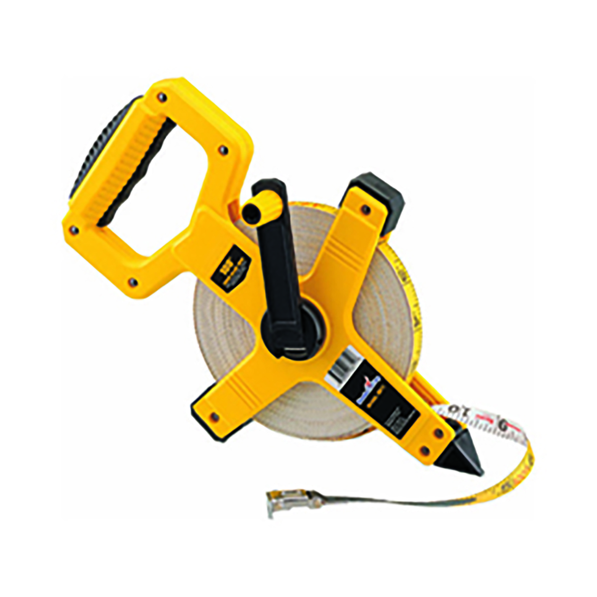
Measuring tape
Measuring tape is a tool used to measure distances in land surveying. They are
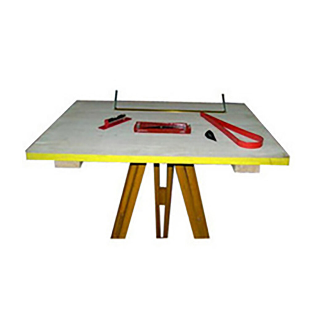
Plane Table
Plane table surveying is a graphical method of surveying that involves simultaneously
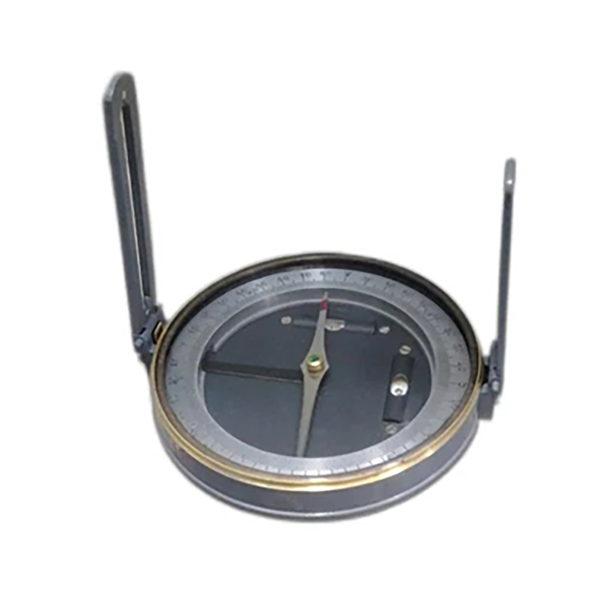
Prismatic Comp...
A prismatic compass is a surveying tool used to determine the direction and angles
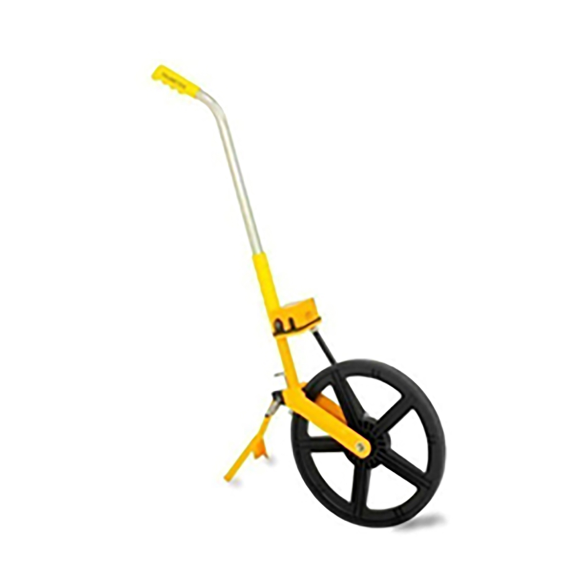
Rodo meter
A Rodo Meter, also known as a distance measuring wheel, is a handheld device used
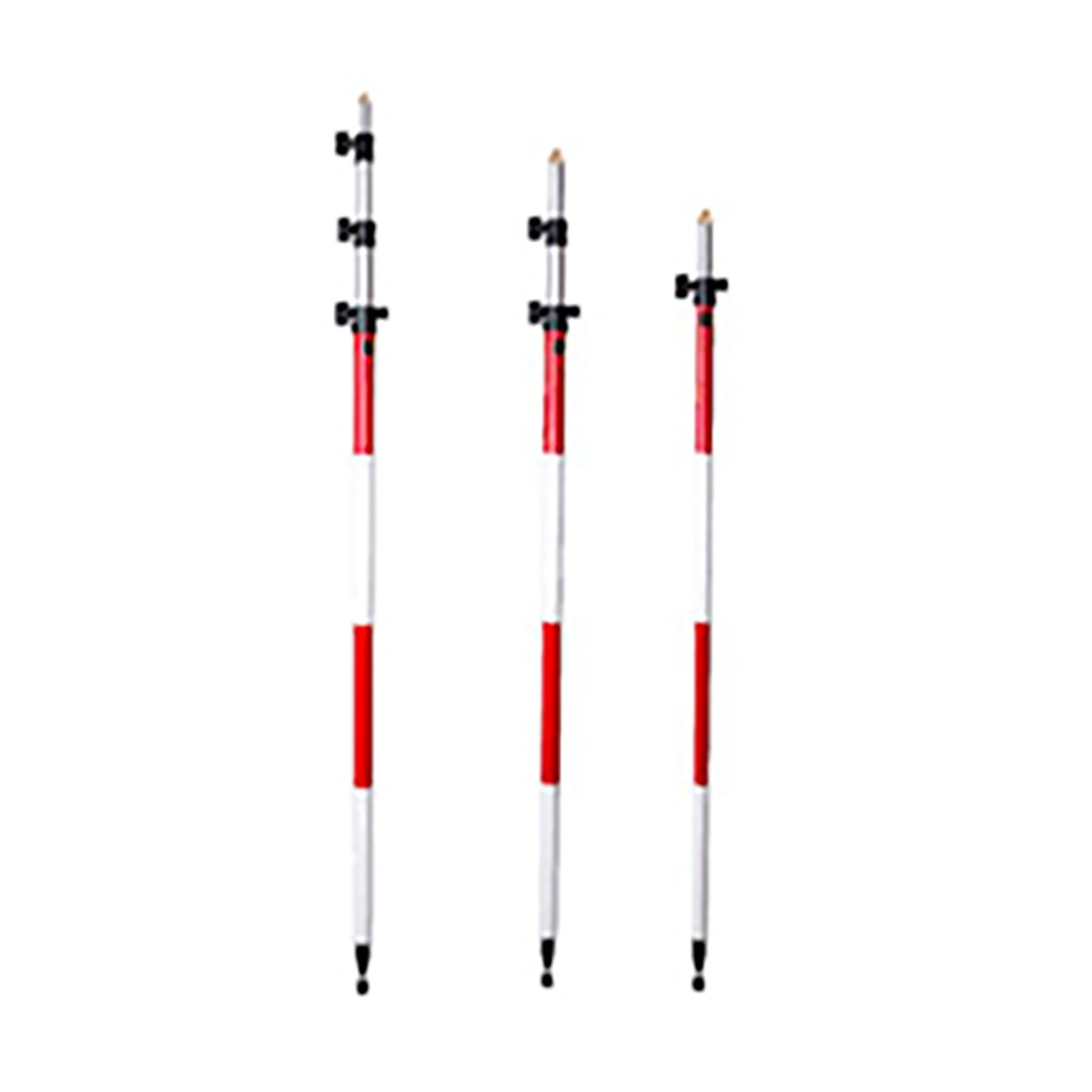
Story poles
Story poles are a critical tool in construction and development that help visualize the

Total Station
A Total Station is a surveying instrument that combines an electronic theodolite and
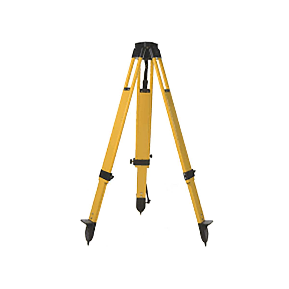
tripods
A Surveying Tripod is a three-legged stand that supports surveying instruments in a
Vernier Tran...
A vernier transit theodolite, also known as a transit theodolite, is a surveying