Digital Level
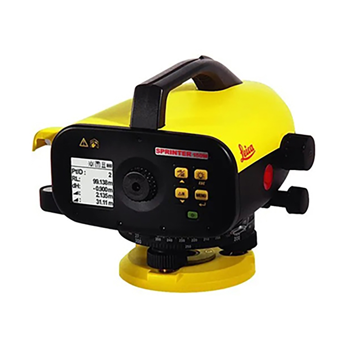
A digital level is a tool used in land surveying to perform automatic height calculations, measure angles, and keep structures level.
It can be used for a variety of tasks, including:
- Measuring the height difference between two points.
- Measuring angles or slopes.
- Keeping a structure level and plumb.
- Determining the height of a structure.
- Calculating pitch, angles, and vertical lines.
- Digital Level Surveying – we civil engineers.
- Digital levels use gravity as a reference point and read bar-coded scales from a bar-coded staff to capture accurate readings. The measurements are automatically displayed and/or stored for future reference.
Here are some tips for using a digital level:
- Allow the instrument and rods to acclimate to the working environment for at least 10 minutes before performing the collimation and/or leveling.
- Perform a collimation check on level ground at the work site.
Digital levels have several advantages, including:
- Reduced human error: Digital levels have a lower chance of human error and produce more accurate data.
- Fast and economical: Digital levels can perform surveys quickly and economically, saving up to 50% of effort.
- Easy to operate: Digital levels are easy to operate in low light conditions.
- Data reduction: Data can be downloaded into a computer device for quick data reduction.